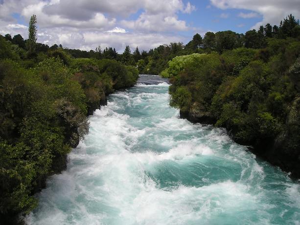
Framed by Connecticut’s rocky shore and New York’s outstretched Long Island, the 180 km tidal estuary known as the Long Island Sound makes up one of many major estuary systems across North America’s eastern coastline. Since the Last Glacial Maximum roughly 21,000 years ago, the formation of the Long Island Sound tells of an intricate geologic history—of a thawing Laurentide Ice Sheet, a draining glacial lake, river-sculpted lakebeds, and the inpour of a rising ocean. The rise of the Atlantic has turned what was once the exposed lakebed of Glacial Lake Connecticut into a flooded estuary, burying away the Sound’s chronologic record held in submerged paleo-features and remnant glacial lake deposits. In an effort to elucidate the glacial to post-glacial history of the Sound, we use high-resolution 2-D CHIRP sonar data to image sub-bottom strata in the Sound’s northeastern region between Westbrook, CT, and Fisher’s Island, where Glacial Lake Connecticut once drained toward a farther Atlantic. Subsurface facies interpretations of digitized profiles were created using Kingdom Suite (Seismic Micro-Technology, Inc.) and then interpolated using ArcGIS Pro, reconstructing a detailed mapping of the region’s sub-bottom. Subsurface facies interpretations were created using Procreate. Substantial erosion from ongoing marine action has exposed considerable portions of lakebed deposits at the sound floor alongside outcropping bedrock, buried promontories, and paleo-shore remnants. Our study revealed preserved glacial lake deposits channelized by 4-6 newly identified southward flowing paleo-rivers, potentially joining at the confluence of a greater, previously mapped paleo-river. Interpreted unconformities and depositional shifts in glacial lake sediments added complexities to Glacial Lake Connecticut’s formative chronology and the dynamics of its meltwater sources, drainage, and estuarine transition. 2-D CHIRP sub-bottom profiles proved to be an effective tool for the preliminary identification of submerged and buried features within a complex, geodiverse region of the Long Island Sound.