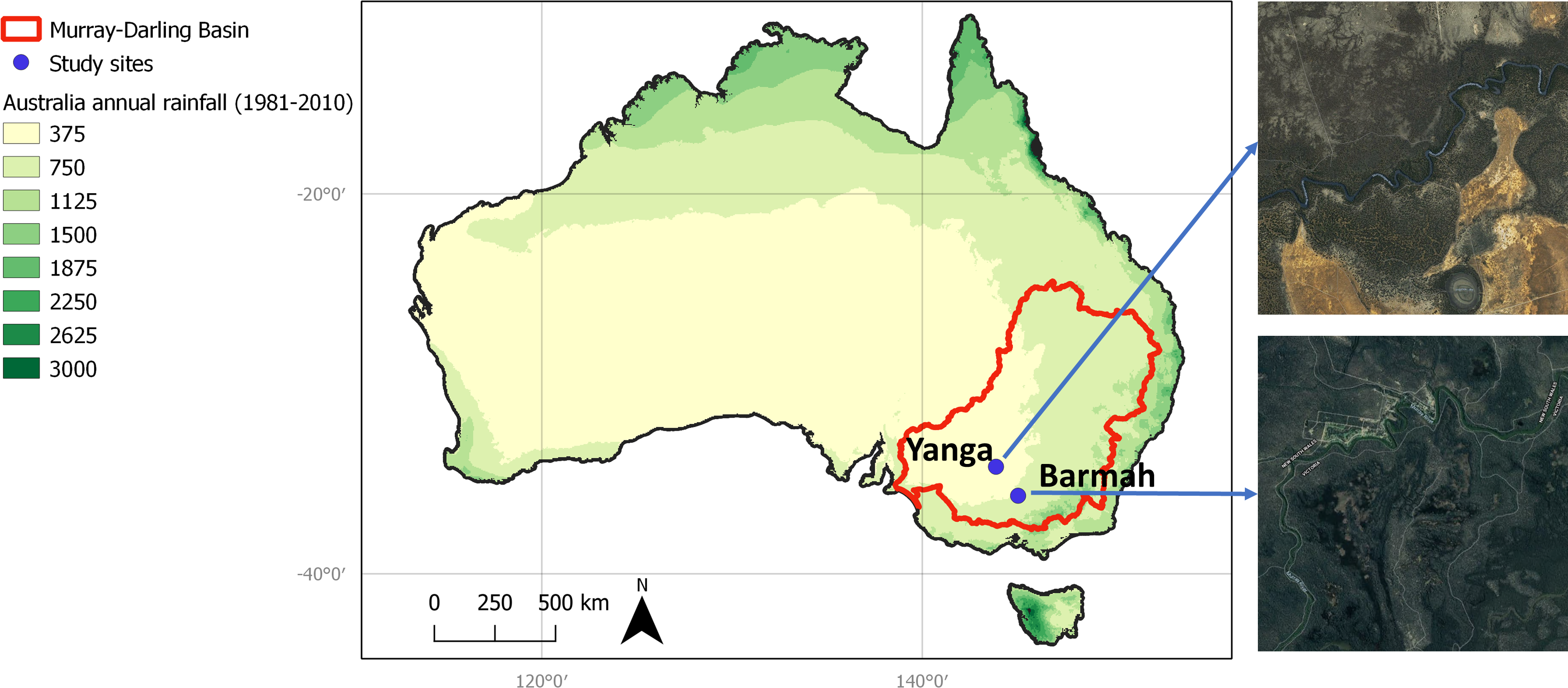
Management of water, regionally, nationally and globally will continue to be a priority and complex undertaking. In riverine systems, biotic components like flora and fauna, play critical roles in filtering water so it is available for human use and consumption. Preservation of ecosystems and associated ecosystem functions is therefore vital. In highly regulated large river basins, natural ecosystems are often supported through provision of environmental flows. Flow delivery, however, should be underpinned by rigorous monitoring to identify and prioritise biotic water requirements. Broadscale monitoring solutions are thus integral and for woody tree vegetation species, this is can be via measurement of field evapotranspiration, regionally scaled using remote sensing. However, as there is generally a mismatch between field data collection area and remote sensing pixel size, new methods are required to proportion tree evapotranspiration based on tree fractional canopy area per pixel. Within, we present a novel method to derive tree fractional canopy cover (FTCC) at 20 m resolution, in semi-arid and arid floodplain areas. The method employs LiDAR as a canopy area field measurement proxy (10 m resolution). Sentinel-1 and Sentinel-2, radar and multispectral imagery, were used in Random forest analysis, undertaken to develop a predictive FTCC model trained using LiDAR for two regions in the Murray-Darling Basin. A predictor model, combing the results of both regions, was able to explain between 85-91% of FTCC variation when compared to LiDAR FTCC, output in 10% increments. Development of this method underpins the advancement of woody vegetation monitoring to inform environmental flow management in the Murray-Darling Basin. The method and fine scale outputs will also be of value to other catchment management concerns such as altered catchment water yields related to bushfires and as such, has application to water management worldwide.