Solène Jousset

and 6 more

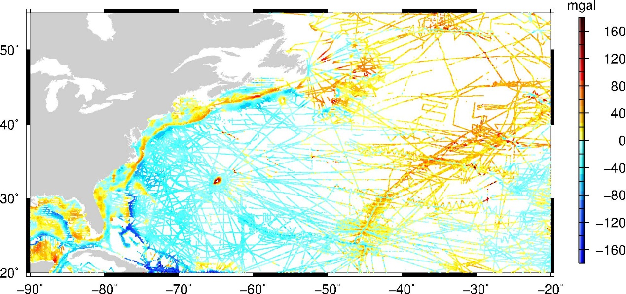
Abstract. The mean dynamic topography (MDT) is a key reference surface for altimetry. It is needed for the calculation of the ocean absolute dynamic topography, and under the geostrophic approximation, the estimation of surface currents. CNES-CLS mean dynamic topography (MDT) solutions are calculated by merging information from altimeter data, GRACE, and GOCE gravity field and oceanographic in situ measurements (drifting buoy velocities, High Frequency radar velocities, hydrological profiles). The objective of this paper is to present the newly updated CNES-CLS22 MDT. The main improvement of this new CNES-CLS22 MDT over the previous CNES-CLS18 MDT is in the Arctic, with better coverage, no artifacts and a more realistic solution. This is due to the use of a new first guess estimated with the CNES-CLS22 MSS and the GOCO06s geoid to which optimal filtering has been applied, as well as Lagrangian filtering at the coast to reduce the intensity of normal currents at the coast. Improvements also include updating the drifting buoy and T/S profile databases, as well as processing to obtain synthetic mean geostrophic velocities and synthetic mean heights. In addition, a new data type, HF radar data, was processed to extract physical content consistent with MDT in the Mid Atlantic Bight region. The study of this region in particular has shown the improvements of the CNES-CLS22 MDT, but that there is still work to be done to obtain a more physical solution over the continental shelf. The CNES-CLS22 MDT has been evaluated against independent height and velocity data in comparison with the previous version, the CNES-CLS18. The new solution presents slightly better results, although not identical in all regions of the globe.

Alice Laloue

and 8 more

In this paper, we compute a new hybrid mean sea surface (MSS) model by merging three recent models, CNES_CLS22, SCRIPPS_CLS22 and DTU21, and taking advantage of their respective features. The errors associated with these models were assessed using sea level anomalies for wavelengths ranging from 15 to 100km from Sentinel-3A (S3A), SWOT KaRIn during its calibration phase and ICESat-2 in the Arctic ice-covered regions. The absolute error associated with this new Hybrid23 MSS is estimated at 0.15 ± 0.04 cm² with S3A. The greatest improvements observed on S3A sea level anomalies are mainly located in coastal regions and along geodetic structures: on average, the error is reduced by 23% within 200km along the coast and by 35% in the Indonesian region compared with SCRIPPS_CLS22. Despite these improvements, the MSS error still impacts significantly sea level anomalies computed from altimetry: it explains 15% and 18% of the S3A and SWOT KaRIn respective global variance. It becomes predominant (> 30%) if we consider the shorter wavelengths ([15, 30km]). CNES_CLS15, older, explains up to 88% of the variance of SWOT KaRIn at these wavelengths. MSS errors have become a major limiting factor to the accuracy of sea level anomalies, and hybridization even adds sub-mesoscale errors. SCRIPPS_CLS22 and DTU21 also remain better in certain regions of the North Atlantic above 60°N and in Arctic coastal areas. Finally, many efforts are still required to develop the MSS to a new level of precision, which we could soon achieve with SWOT KaRIn during the scientific phase.

Fabrice Ardhuin

and 6 more

Michaël Ablain

and 6 more

The originality of this study is to propose a new calibration method based on two calibration phases between Jason-3 and Sentinel-6A (S6A) to better estimate the relative global and regional mean sea level drifts between the two missions. To date, a first calibration phase of approximately 12 months is planned from January 15, 2021, to December 31, 2021, when both satellites will be on the same orbit spaced out by approximately 30 seconds. This calibration will allow for a very accurate assessment of the GMSL bias between Jason-3 and S6A (less than 0.5 mm, see ​ Zawadzki and Ablain, 2016​). A second calibration phase after a few years would reduce the uncertainty levels of the GMSL (global mean seal level) drift estimate. The uncertainty would be low enough to detect any drift detrimental to the stability of the current GMSL record. It would indeed be possible to evaluate the stability between the two satellites with an accuracy at least 3 times better at the global scale than with the most accurate method to date. At regional scales, the second calibration phases would provide regional MSL drift estimates with very good precision. This study also shows that the time spent between the two calibration phases is significantly more sensitive than the length of the second calibration phase for the reduction in uncertainties. Finally, a possible scenario proposed by this study would consist of carrying out the beginning of the second calibration phase approximately 1.5-2 years after the first and for a duration of 3-4 months. This calibration would allow the detection of a relative GMSL drift of approximately 0.15 mm/yr and 0.4-0.5 mm/yr at oceanic basin scales (2000-4000 km).